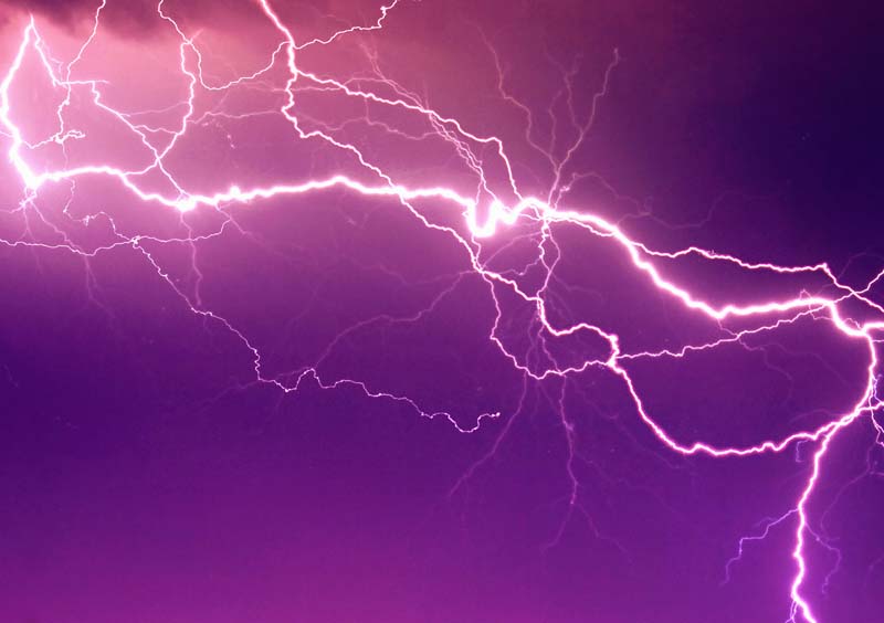
A research team at Los Alamos National Laboratory recently found that the strength difference between two very high-frequency radio pulses in lightning is closely related to the altitude of the lightning in the cloud — a finding that sheds light on how the power in lightning radiates. This, in turn, gives insight into lightning initiation in a particularly powerful type of in-cloud lightning.
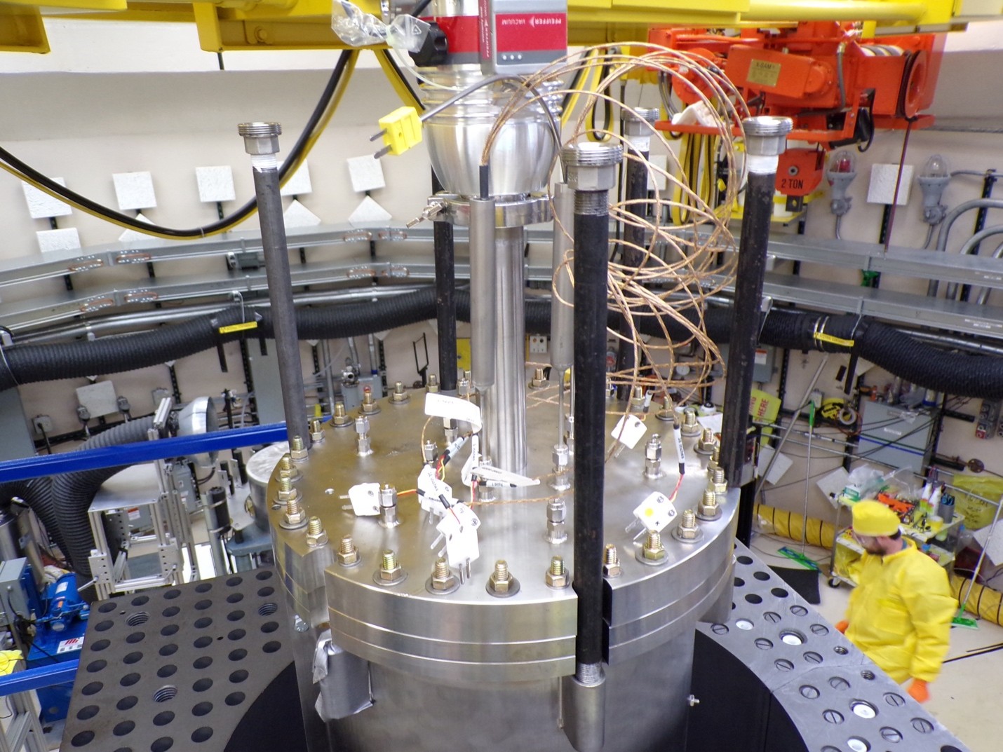
To arrive at this conclusion, the Los Alamos team used machine learning to amass the largest dataset ever of trans-ionospheric pulse pairs (TIPPs), a very high-frequency radio signal generated by lightning. More than 76,000 TIPPs were observed by a radio frequency sensor developed by Los Alamos aboard a satellite in geostationary orbit and matched to lightning observed from the ground. (An estimated 95% of the lightning events detected by radio frequency sensors are TIPPs, while the rest are cloud-to-ground lightning discharges.)
“We’ve known for a long time that the first pulse of a TIPP is caused by the signal from the lightning directly reaching a satellite after traveling through the ionosphere, and the second pulse is caused by the signal reflecting off the Earth's surface and then reaching the satellite,” said Erin Lay, a research scientist at Los Alamos and lead Laboratory author of the study published in the Journal of Geophysics Research. “Sometimes this second pulse is stronger than the first, but we didn’t know why. This study showed us the difference is a result of the altitude of the lightning in the cloud and the elevation angle in relation to the satellite.”
The study provided additional evidence that TIPPs are the space-based signature of compact intracloud discharges, which are a particularly fast, short in-cloud lightning process.
The new, large database of 76,000 TIPPs also has potential to add further specificity to global lightning mapper (GLM) data. These GLM instruments on the National Oceanic and Atmospheric Administration’s GOES-R satellites, along with the co-located advanced baseline imager, give researchers an estimate of how high a cloud is, according to Lay.
“Our measurements could lead to even more accurate measurements in time of how high the convective regions of clouds are, which can in turn help them verify their data,” Lay said. “It could tell them, for example, that when they get a quick jump in altitude of the TIPPs, the storm’s convection could be changing rapidly.”
Paper: “Statistical Analysis of Trans-Ionospheric Pulse Pairs and Inferences on their Characteristics.” Journal of Geophysics Research: Atmospheres.
DOI: 10.1029/2025JD043403
LA-UR-25-28287
Contact
Media Relations | media_relations@lanl.gov